Utuado
Historical Overview
Utuado, home to the ancient Taíno ceremonial site at Caguana and shaped by the Río Viví that runs through its mountain landscape, was established in 1739 as a municipality of Puerto Rico's interior highlands. The town's patron parish, Parroquia San Miguel Arcángel, holds Catholic records beginning in 1792 for baptisms and 1793 for burials, making it essential for tracing highland families well before civil registration began in 1885. Utuado's large territory and rugged terrain mean that families are best tracked by barrio, and researchers should also search neighboring municipalities such as Jayuya, Adjuntas, Lares, Ciales, and Arecibo when family records disappear from Utuado archives.
Coat of Arms

Image: Wikimedia Commons (CC BY-SA 4.0)
The Utuado coat of arms features a cemí representing Taíno spiritual and ancestral heritage, a silver sword with a gold hilt recalling the town's patron saint San Miguel Arcángel, and a Taíno female figure associated with the Caguana ceremonial site. Mining symbols recall the mineral history of the interior highlands. The blue field represents the sky, and a white lower stripe represents the Río Viví.
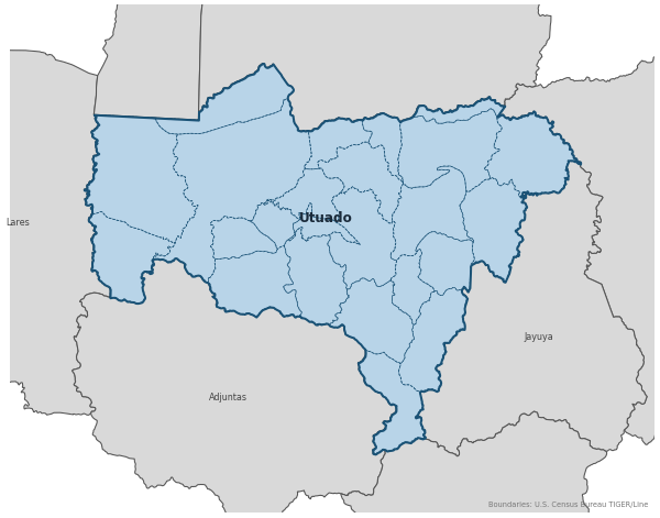
Barrios
Genealogical records often identify individuals by barrio. Utuado has 24 barrios:
Daughter Municipalities
The following municipalities separated from Utuado. Residents recorded events before their founding year in Utuado's parish:
Neighboring Municipalities
Also check records in neighboring municipalities:
Historical Maps
Historical maps help identify barrios, boundaries, and communities as they existed in the past. Maps from the 18th and 19th centuries are preferred.
Utuado (2026)
Genealogy Toolkit
Diocesan Archive
Diocese: Diocese of Arecibo
For sacramental records not available digitally, contact the diocesan archive directly.
Diocese WebsiteDigital Archives
- FamilySearch: Utuado Civil and parish records
- Find A Grave: Utuado Municipal Cemetery Cemetery index
- Find A Grave: Cementerio Municipal de Utuado, Barrio los Angeles Cemetery index
- Find A Grave: Cementerio Municipal Monte Calvario Cemetery index
- Puerto Rico, Catholic Church Records, 1645–1969 Digitized Records Islandwide Catholic church-record collection including baptisms, marriages, burials, and confirmations. Includes Utuado parish records.
- Puerto Rico Civil Registration, 1885–2001 Digitized Records Civil registration births, marriages, and deaths for all Puerto Rico municipalities including Utuado, beginning 1885.
- FamilySearch: Puerto Rico Genealogy Complete records guide
Further Reading
- Utuado: Notas para su Historia — Pedro H. Hernández Paralitici / Oficina Estatal de Conservación Histórica Government History (PDF) An official historical reference booklet for Utuado published by the Puerto Rico Office of Historic Preservation.
- Utuado Civil Registration, 1885-1996 — FamilySearch Record Collection FamilySearch catalog entry for Utuado civil registration on 45 microfilm reels, including indexes; notes damaged and out-of-order records in some films.
- Puerto Rico Local History and Genealogy — Vital Records — Library of Congress Research Guide Library of Congress guide explaining Puerto Rico vital records and the relationship between parish and civil registration.
Found an error or have additional information? Contact us